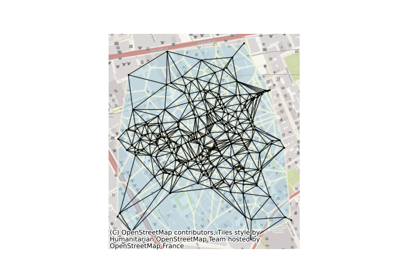
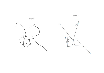
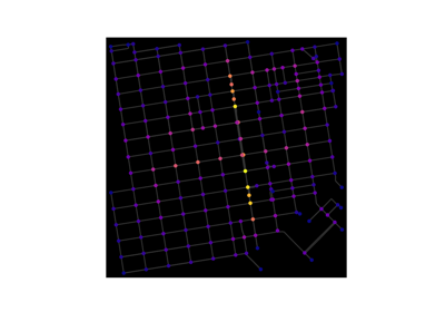
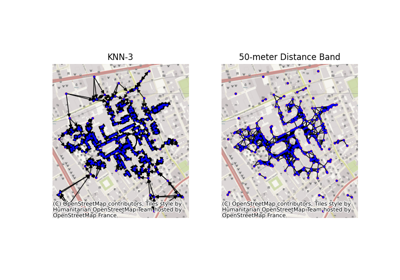
Geospatial#

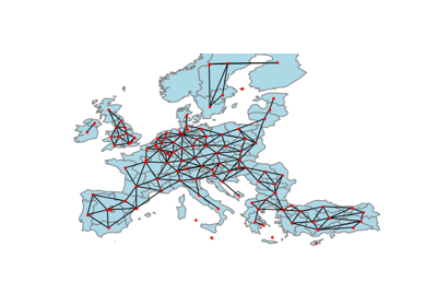
The following geospatial examples showcase different ways of performing network analyses using packages within the geospatial Python ecosystem. Example spatial files are stored directly in this directory. See the extended description for more details.

Delaunay graphs from geographic points

Delaunay graphs from geographic points

Graphs from a set of lines

Graphs from a set of lines

OpenStreetMap with OSMnx

OpenStreetMap with OSMnx

Graphs from geographic points

Graphs from geographic points

Graphs from Polygons

Graphs from Polygons